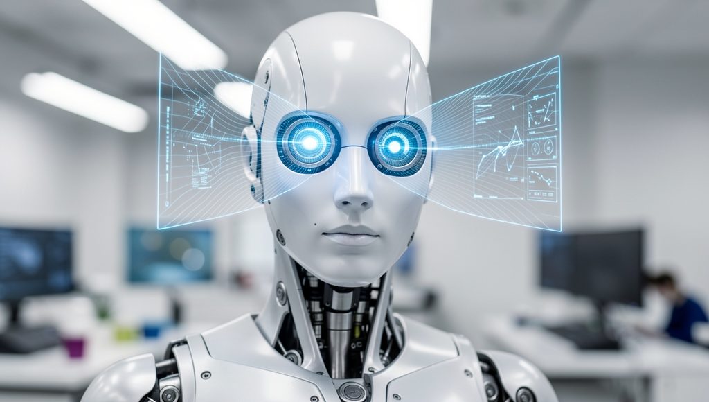
Depth Perception in Robots
Discover how robots measure distance, understand three-dimensional environments, and use depth information for navigation, object detection, manipulation, and autonomous decision-making.
Depth perception is the ability of a robot to estimate how far objects and surfaces are from its sensors. It allows a robot to understand not only what is present in an environment, but also where objects are located in three-dimensional space.
Introduction to Depth Perception in Robots
A robot operating in the real world needs more than a simple image of its surroundings. A conventional camera can capture color, texture, edges, and shapes, but it does not directly provide the distance of every object from the camera. Depth perception solves this problem by providing information about the three-dimensional structure of a scene.
Depth information helps robots determine whether an object is near or far away, estimate the position of obstacles, measure distances, and understand the geometry of their surroundings. This information is particularly important for autonomous robots, robotic arms, mobile robots, drones, and service robots.
Why Depth Perception is Important
Robots use depth information to make better decisions while interacting with physical environments. Without reliable depth information, a robot may have difficulty avoiding obstacles, reaching objects, or navigating through complex spaces.
Obstacle Avoidance
Depth sensors help robots determine the distance to walls, furniture, people, vehicles, and other obstacles.
Object Manipulation
Robotic arms can use depth information to estimate the position of objects before attempting to grasp them.
Robot Navigation
Mobile robots can use three-dimensional information to understand their surroundings and plan safer paths.
3D Environment Mapping
Depth measurements can be combined to create maps of rooms, buildings, warehouses, and outdoor environments.
How Robots Obtain Depth Information
There are several techniques used to obtain depth information. The appropriate method depends on the robot’s application, operating environment, required accuracy, and available hardware.
1. Stereo Vision
Stereo vision uses two cameras positioned at slightly different viewpoints. Similar to human binocular vision, the robot compares corresponding features in the two images. The difference in their positions, called disparity, can be used to estimate distance.
Stereo vision can provide useful depth information without requiring an active depth projector. However, its performance can decrease when the scene contains poor texture, repetitive patterns, or insufficient lighting.
2. Time-of-Flight Sensors
Time-of-flight systems estimate distance by measuring how long emitted light takes to travel to an object and return to the sensor. These sensors can generate depth measurements quickly and are useful for many robotic applications.
3. Structured Light
Structured-light systems project a known pattern onto a scene. The deformation of the pattern is analyzed to calculate the distance and shape of objects.
4. LiDAR
LiDAR uses laser measurements to determine distances to objects. By collecting many distance measurements, a robot can build a detailed representation of its environment.
5. Monocular Depth Estimation
A single camera can also be used with computer vision and machine learning techniques to estimate depth. Instead of directly measuring distance, an algorithm analyzes visual information and predicts the three-dimensional structure of a scene.
Depth Perception Process in a Robot
Cameras or depth sensors collect information about the surrounding environment.
The robot processes images or sensor readings to calculate distances and identify useful spatial information.
The system creates a depth map, point cloud, or other representation of the three-dimensional scene.
Computer vision software identifies objects, surfaces, obstacles, and navigable areas.
The robot uses the depth information to navigate, move, grasp an object, or perform another task.
Depth Maps and Point Clouds
A depth map is an image in which each pixel represents the estimated distance between the sensor and a point in the environment. Depth maps are useful for obstacle detection, object recognition, navigation, and robotic manipulation.
A point cloud is a collection of three-dimensional points. Each point can represent a location measured in the environment. Point clouds are commonly used for 3D mapping, inspection, localization, and autonomous navigation.
Applications of Depth Perception
- Autonomous mobile robot navigation
- Obstacle detection and avoidance
- Warehouse robots
- Robotic arm positioning
- Object grasping and manipulation
- 3D mapping and localization
- Industrial inspection
- Autonomous vehicles and delivery robots
- Human-robot interaction
- Indoor service robots
Comparison of Common Depth Technologies
| Technology | Main Principle | Typical Strength |
|---|---|---|
| Stereo Vision | Uses differences between two camera views | Passive depth estimation |
| Time-of-Flight | Measures light travel time | Fast distance measurement |
| Structured Light | Analyzes projected patterns | Detailed indoor depth |
| LiDAR | Uses laser distance measurements | Accurate spatial mapping |
| Monocular Estimation | Predicts depth from a single image | Uses a simple camera setup |
Challenges in Robot Depth Perception
Although depth sensing is powerful, robots can encounter several challenges when estimating distance and scene geometry.
- Lighting: Changes in illumination can affect camera-based depth estimation.
- Reflective surfaces: Glass, mirrors, and highly reflective materials can produce unreliable measurements.
- Low-texture objects: Stereo systems may have difficulty finding matching features on plain surfaces.
- Sensor range: Every depth technology has a practical operating range.
- Processing requirements: High-resolution depth data can require significant computational resources.
- Sensor noise: Measurements may contain errors that need to be filtered before use.
Depth Perception and Artificial Intelligence
Artificial intelligence can improve robotic depth perception by combining sensor data with machine learning and computer vision. AI-based systems can estimate depth, recognize objects, segment scenes, and determine which areas are safe for navigation.
A robot can combine depth information with object recognition to determine not only that an object exists, but also where the object is located in three-dimensional space. This combination is useful for autonomous manipulation and navigation.
Future of Depth Perception in Robotics
Future robotic systems are expected to combine multiple sensing technologies to obtain more reliable three-dimensional understanding. Cameras, depth sensors, LiDAR, inertial sensors, and AI-based vision systems can work together to provide a richer representation of the environment.
Improved depth perception will help robots operate more safely and accurately in homes, factories, hospitals, warehouses, farms, and outdoor environments. As robotic computing becomes more powerful, real-time three-dimensional perception will become increasingly important for autonomous machines.
Conclusion
Depth perception is a fundamental capability for intelligent robots. It enables machines to estimate distance, understand three-dimensional environments, avoid obstacles, navigate safely, and interact with objects.
Technologies such as stereo vision, time-of-flight sensors, structured light, LiDAR, and AI-based monocular depth estimation provide different approaches to solving the depth-perception problem. Selecting the right technology depends on the robot’s environment and application.
Learn More About Robotics
Explore more educational resources and robotics engineering topics at Robotics Engineering Courses.
Visit Robotics Engineering Courses